The US State Department issued an Environmental Study, one of the steps in the overall decision making process for President Obama.
We describe the State Department process and our reaction, click here.
 The area of the Sandhills the State Department is using in their most recent study comes from a shrunken map formally submitted by the Nebraska DEQ through the MOU they have with the State Department. You see, its Nebraska’s role to define the route, and they did…all to benefit TransCanada (who paid $5 million for the DEQ report and used a contractor HDR they are working with on other projects as well, yes this is a conflict).
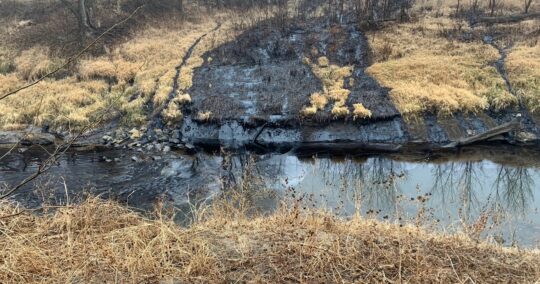
We worked with various maps and experts to show the real Sandhills and vulnerable sandy soils and of course the major bodies of water this tarsands pipeline puts at risk–the Ogallala Aquifer, the Platte river, the Niobrara river and countless family wells.
This matters because the DEQ, State Department and just about every elected official have all acknowledged–after much pushing from citizens and landowners–that a tarsands pipeline of this size carrying this type of substance is not a viable option for the Sandhills.
This map shows the revised pipeline route still crosses the Sandhills, just not the “NDEQ-Identified Sand Hills Region” as outlines now in the US State Department review.
We are asking members of the media and the public to keep reminding elected officials of the real Sandhills and to use the map that even TransCanada when they first submitted their application acknowledged were the Sandhills.